


Pix4D / Software
Pix4D BIM for Construction Sites
Out of stock
SKU: PIX4D-BIM-PAR
Pix4D BIM (Building Information Model) UAV/Drone Mapping Software
Pix4D is a solution to converting thousands of aerial images taken by lightweight, unmanned aerial vehicle (UAV) or aircraft into geo-referenced 2D mosaics, 3D surface models and point clouds. With its advanced automatic aerial triangulation based purely on image content and unique optimisation techniques, Pix4D software enables civilian light-weight drones to become the next-generation mapping and surveying tool.
Analyse, share and integrate as-built site data with BIM
Visualise, measure and verify as-built data of your site using flexible image processing options on either desktop or cloud. Deliverables can be analyzed and shared via a cloud-based server and compared to BIM as-design or schedule drawings.
Highlights
|
Photorealistic 3D Models for Measurements Pix4Dbim desktop creates 3D models, surface and volume measurements, contours, and general visualization. Original high resolution images can be viewed for inspection purposes by clicking on any point of the 3D model. |
|
|
Cloud-Based Timeline Data collected regularly is displayed on an easy-to-visualize timeline in the cloud, which shows site progress. The 2D and 3D data can be accessed from here, as well as annotated, measured, and shared. |
|
|
BIM Comparison for As-Built vs As-Design Import drawings to the Pix4Dbim cloud, so as-built orthophotos can be compared with as-design drawings. Construction errors can be spotted early this way, before they impact later stages of the build. Alternatively, schedule diagrams derived from the BIM application can be imported and compared to ensure the project is on-track. |
Pix4Dbim Cloud Demo
Pix4Dbim Cloud is a powerful and intuitive platform that automatically processes your construction site data into 2D orthophotos and 3D models. Easily visualize, measure, annotate, and share the as-built situation of your jobsite - regularly collecting data to monitor on a timeline. Import drawings so as-built orthophotos can be compared with as-design drawings.
Featured content
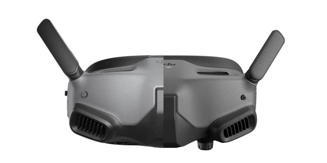
DJI Goggles Integra vs DJI Goggles 2: Digital FPV goes head to head
DJI's latest FPV Goggles, DJI Goggles Integra replace the still popular and available DJI Goggles 2 adding a new feature,...
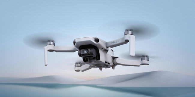
Mini 2 SE vs DJI Mini 2 & DJI Mini SE: differences and changes
DJI recently released the DJI Mini 2 SE, its second-generation mini SE drone on the market. With DJI having a number of...

2022 Christmas buying guide: drones to put under the tree
Christmas is nearing and it's time to start looking the perfecto drone to buy friends or family, especially with increase in delivery times and...