


DJI Zenmuse XT2 (Fast Video 30Hz) Dual Thermal Infrared & Visible Imager Camera Gimbal
Out of stock
SKU: DJIZXT2B09FR
Weight: 2.0 kg
|
|
|
|
Buy your DJI Zenmuse XT2 from Rise Above in Sydney, and have confidence that you are dealing with Australia's UAV experts. We always offer Australia's best prices and support. |
Special-order. Lead time: 3-6 weeks from order, with export approval
|
|
|
|
Dual Vision. Superior Intelligence. Join the next generation of commercial drone solutions with the XT2. Pairing the FLIR Tau 2 thermal sensor and 4K visual camera with DJI’s leading stabilization and machine intelligence technology, the XT2 quickly transforms aerial data into powerful insights that save time, money – and lives.
|
|
|
|
|
The Zenmuse XT2 builds on top of FLIR’s dual sensor configuration, combining FLIR’s Tau 2 thermal sensor and 12MP visual camera. Additionally, the XT2 utilizes the highest end Tau 2 sensors, with all models having advanced radiometric capabilities – storing temperature data in every pixel – and a max 30 Hz thermal frame rate.
|
|
|
The XT2’s dual sensors are housed within a weather resistance encasing, providing an IP44 level rating. This makes it the first DJI camera to match the M200 Series’ rugged build, combining to form a drone solution that can fly through light rains.
|
|
|
Transform Data into Insights in Real-Time The XT2 utilizes DJI’s leading computer vision technologies and trusted thermal interpretation tools to provide a suite of intelligent features that helps teams identify what’s important while on-site, instead of after a lengthy processing time.
|
|
|
Don’t miss a thing with instant notifications when object temperatures exceed pre-set parameters.
|
|
|
Heat Tracking Capture the most critical information by automatically locking the XT2 onto the hottest object in view.
|
|
|
FLIR MSX Quickly interpret data with details from the visual image overlaid on the thermal data stream.
|
|
|
Temperature Check Tap a point or select an area for real-time temperature measurements.
Quick Track Select an object to lock the XT2 onto it, simplifying missions in complex environments.
Isotherms Focus on a specific temperature band to identify what’s important.
Colour Palettes Adjust the colours applied to the thermal data to easily interpret what’s happening.
PiP Options Optimize how you view the thermal and visual feeds - side by side, overlapping and more.
Robust Dual-Sensor Thermal Solution Housed within a weather resistant encasing is a combination of FLIR's advanced radiometric thermal sensorand 4K visual sensor - all integrated seamlessly with DJI's powerful enterprise drone platforms.
|
|
|
Transform Data into Insights in Real-Time
|
|
|
See the unseen. FLIR thermal sensors reveal details invisible to the naked eye by making subtle differences in temperature visible. This new view on the world can reveal when equipment or buildings are damaged, the location of lost people and much m
|
|
|
Ready for Action When the XT2 is mounted onto a M200 Series or M200 Series V2 drone, pilots have a combined solution that extends the operation window for drone technology - letting pilots fly confidently in lowlight conditions, through a strong breeze or in light rain. Utilizing the M210, M210 RTK, M210 V2 or M210 RTK V2 drone models, pilots can build more robust drone solutions around the XT2 over time by adding zoom cameras, additional onboard computers and other payloads to fit a variety of specialized missions.
|
|
|
Purpose-Built Application DJI Pilot Professional Flight Control. DJI Pilot is a robust Android app developed specifically for enterprise-users to unleash the power of their DJI drones. With development made specifically for the XT2, DJI Pilot optimizes your flight and aerial imaging process. - Access and adjust Spotlight Pro flight modes
|
|
|
Expected flight times M200 Series drones with TB55 batteries flying the Zenmuse XT2 - Matrice 200 - 30 minutes
M600 Pro drone with TB47 batteries flying the Zenmuse XT2 - Matrice 600 Pro - 31 minutes
|
Featured content
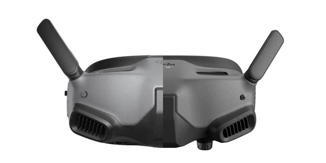
DJI's latest FPV Goggles, DJI Goggles Integra replace the still popular and available DJI Goggles 2 adding a new feature,...
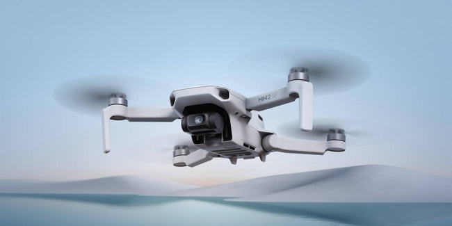
DJI recently released the DJI Mini 2 SE, its second-generation mini SE drone on the market. With DJI having a number of...
Christmas is nearing and it's time to start looking the perfecto drone to buy friends or family, especially with increase in delivery times and...